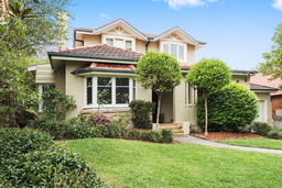
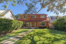
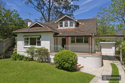
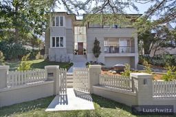
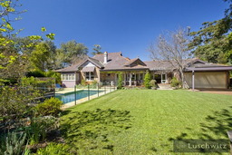
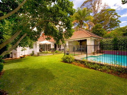
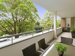
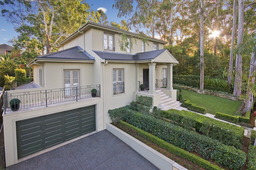
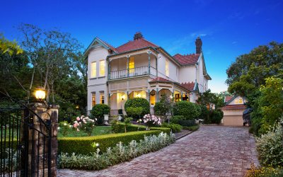
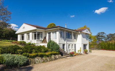
At approximately 5 square kilometres, Lindfield is only 13 kilometres North-West of the CBD. A largely residential suburb, Lindfield includes 10 parks covering nearly 5% of the total area, and is largely comprised of Californian bungalow and Federation style houses. Lindfield means ‘lime tree field’ and was settled by the Europeans in the 1850s. Today, Lindfield has a population of roughly 8,285, largely made up of mature couples and families.
Transport
- Lindfield railway station is along the North Shore, Northern and Western line of the Sydney Trains network, approx 30 minutes from the CBD & 20 min from Hornsby station.
- Lindfield station also has buses that operate to the CBD via the 207 and 271 services and Chatswood via 565 and 558 services.
- Lindfield also has easy access to the Pacific Highway, providing transport by car to surrounding areas.
Facilities (Shops, Parks, Restaurants)
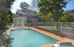
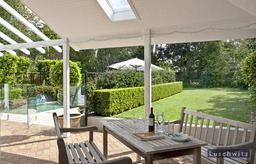
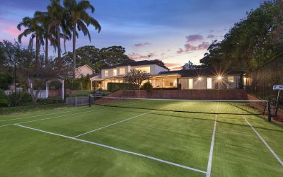
Lindfield has a small commercial area on both sides of the railway station- Pacific Highway and Lindfield Avenue. Within this stretch there are a number of restaurants including fine dining venues, fast food outlets, multiple banks, a bookshop and library, a gelato shop, patisserie, numerous cafes and pharmacies and a large Coles. Lindfield has no shortage of greenery, with the Garigal National Park and Lane Cove National Park in proximity. There are also plenty of sporting facilities, including tennis courts at Lindfield community centre and Lindfield Park.
Schools
- Lindfield Public School, K-6 co-educational
- Highfields Preparatory and Kindergarten School, co-educational Preschool - Year 2
- Lindfield Montessori Preschool
- KU Bradfield Park Preschool and child care centre
- Newington College Preparatory School, Independent school for males K-6
- Holy Family Catholic Primary School, K-6 co-educational Catholic school
Catchment for Killara High School.